.jpg) |
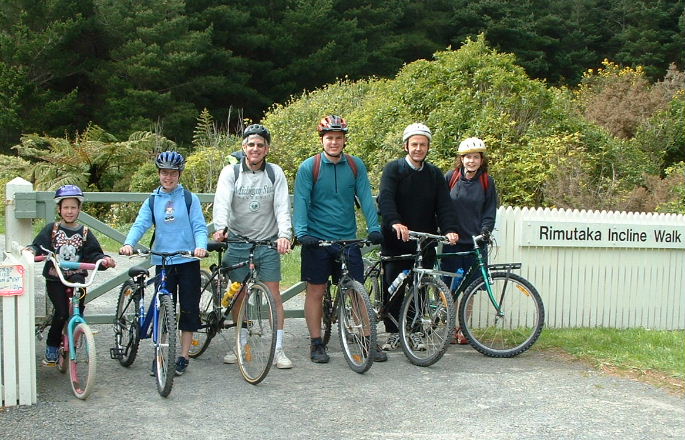
9.47am
About to set off - Nicola, Rebecca, Malcolm, Rick, Dave, Kate |
.jpg) |
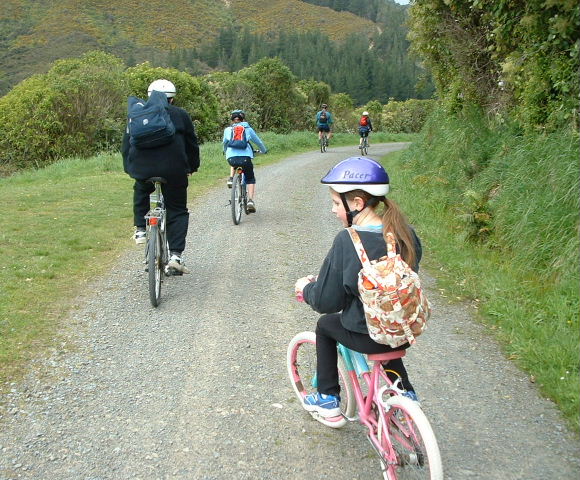
9.59am
We were actually on our way at 9.50am - this shot is 9 minutes later |
.jpg) |
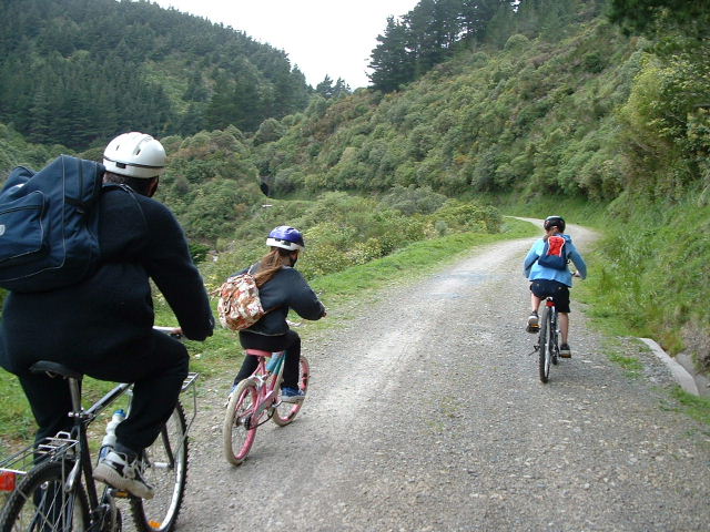
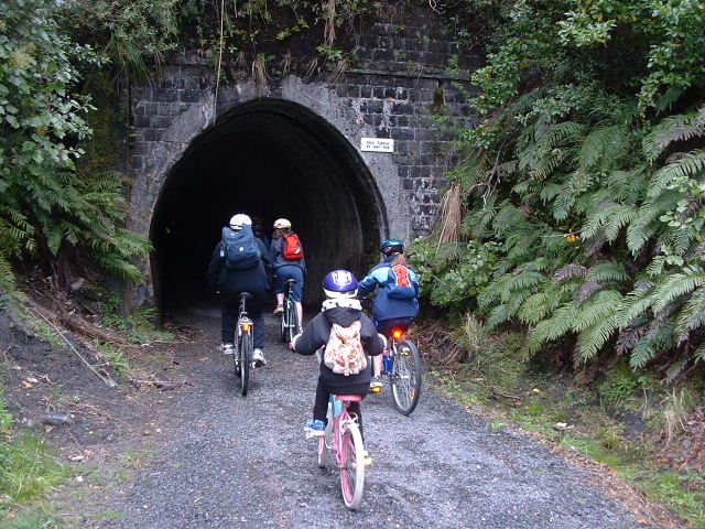
10.15am
Approaching the first of four tunnels |
.jpg) |
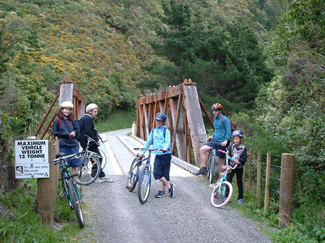
10.31am
Bridge stop |
.jpg) |
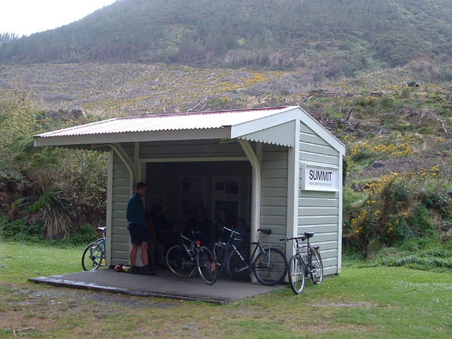
11.47am
The Summit at 1141 ft (360m).
It should have taken only an hour to this point, but we had experienced a bit of a mishap along the way! |
.jpg) |
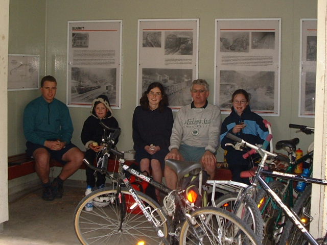
11.52am
Early lunch stop during very light rain at the Summit |
.jpg) |
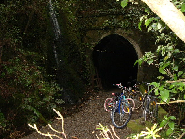
12.09pm
Approaching the longest tunnel - more than half a kilometre |
.jpg) |
12.15pm
The other end of the tunnel - waterfall at left |
.jpg) |
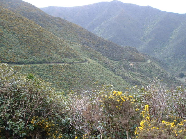
12.26pm
Our track around the side of the hill |
.jpg) |
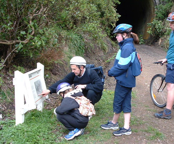
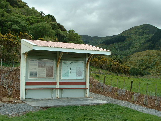
12.37pm
Just outside another tunnel - looking at info about the Siberia bend |
.jpg) |
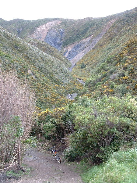
12.43pm
Siberia bend - gully down which the wind can blow furiously |
.jpg) |
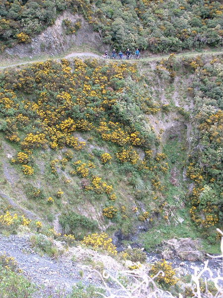
12.44pm
Siberia bend - the train used to go across huge embankment here |
.jpg) |
12.38pm
Siberia bend (other way) - embankment used to be as high as structure |
.jpg) |
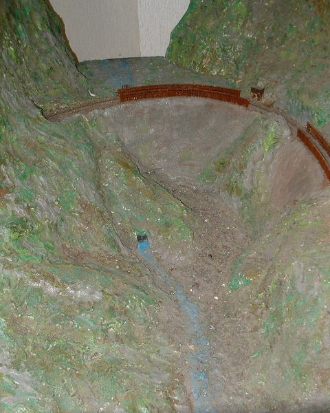
Model of embankment at Siberia bend as it once was - "blank" at top is wind-swept gully |
.jpg) |
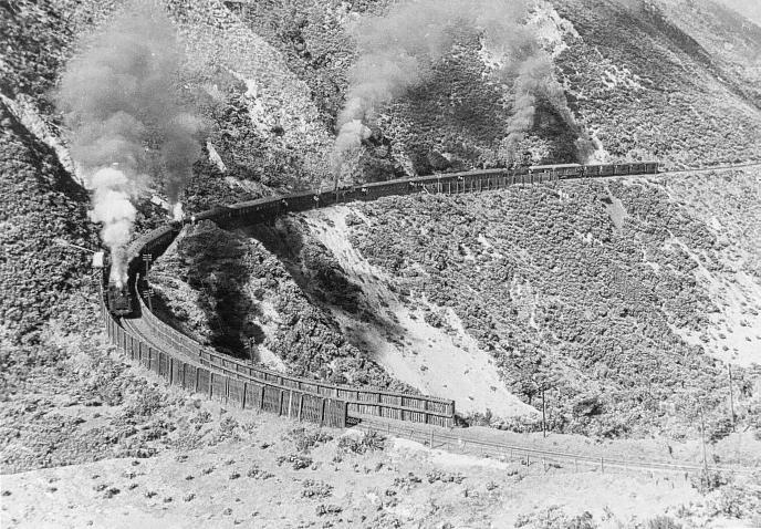
B & w shot of train (4 engines) steaming around embankment at Siberia bend |
.jpg) |
1.10pm
Continuing downhill |
.jpg) |
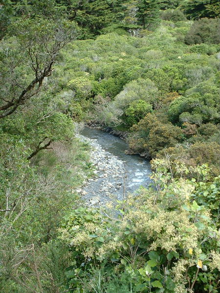
1.11pm
Pleasant river view |
.jpg) |
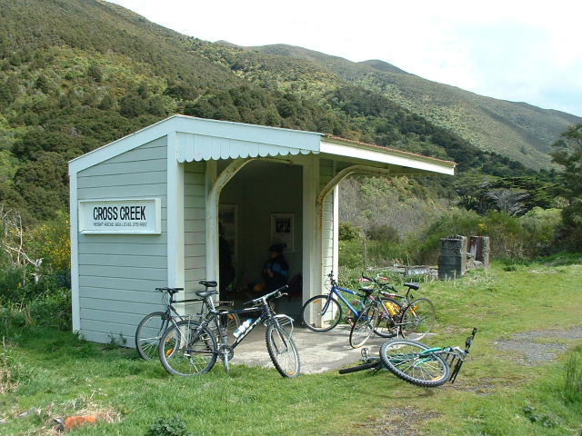
1.18pm
Cross Creek - end of our descent (but the bike ride not yet over) |
.jpg) |
1.20pm
There were a number of houses at Cross Creek once - but nothing now |
.jpg) |
1.32pm
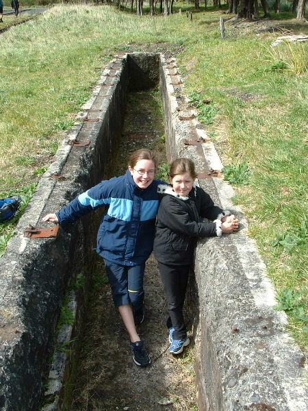
One of several pits at Cross Creek for viewing the under side of a train |
.jpg) |
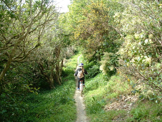
1.46pm
The "goat track" leading out from Cross Creek to the car park |
.jpg) |
2.15pm
The very end - or the beginning, depending on your point of view |