 |
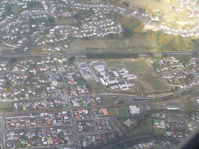
Parts of this shot are somewhat fuzzy. You can see Tawa Intermediate & Tawa College at the centre of the photo; the motorway and part of Greenacres are at the top; Tawa Pool, Grasslees, and some of central Tawa are at the bottom. [Click on pic for larger view].
|
 |
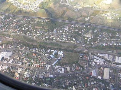
This photo shows the Mall, the Main Road from the central shops (including the library, and the Catholic & Anglican churches) along as far as Redwood Ave north, Tawa School, Tawa Station, Duncan St, the motorway, and a whole lot more! If you don't know Tawa, you probably won't be able to figure out what's what. If you do know Tawa, you should be able to figure it all out. [Click on pic for larger view].
|
 |
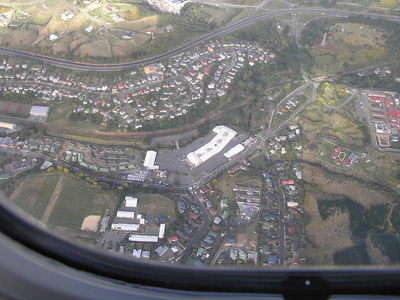
In this one - if you know what you're looking for - you can see Redwood School, Redwood Village, the Badminton Hall, Taylor Tce, DressMart, Longview, Arohata, and of course the motorway! [Click on pic for larger view].
|