|
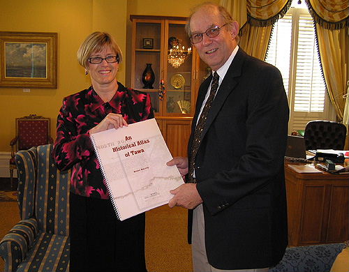
Bruce Murray, local author of the newly-publshed "An Historical Atlas of Tawa", hands over a copy to the Tawa Historical Society's patron, the Mayor of Wellington, Kerry Prendergast, in the Mayoral chambers on Monday afternoon, 30th October 2006.
The book is a collection of 37 maps of Tawa, each map with its own commentary. The earliest map dates back to 1849. The past 100 years has, on the whole, been reasonably well documented. The book has topographical maps, cadastral maps, maps of subdivisions of Tawa since 1906, and local authority maps (mostly district schemes).
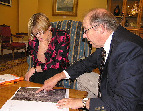
"An Historical Atlas of Tawa" has an appendix of three historic aerial photos of Tawa (1944, 1958 and 1974), and population figures for Tawa going back 100 years.
The book sells for $58 and can be inspected at the Tawa Library. The Library will also have order forms which members of the public can use to purchase the atlas. All details concerning purchase are to be found on the order form.
Further information can be obtained from the Secretary, Tawa Historical Society, PO Box 51073 Tawa, or
www.tawahistory.wellington.net.nz, or email secretary@tawahistory.wellington.net.nz.
|


